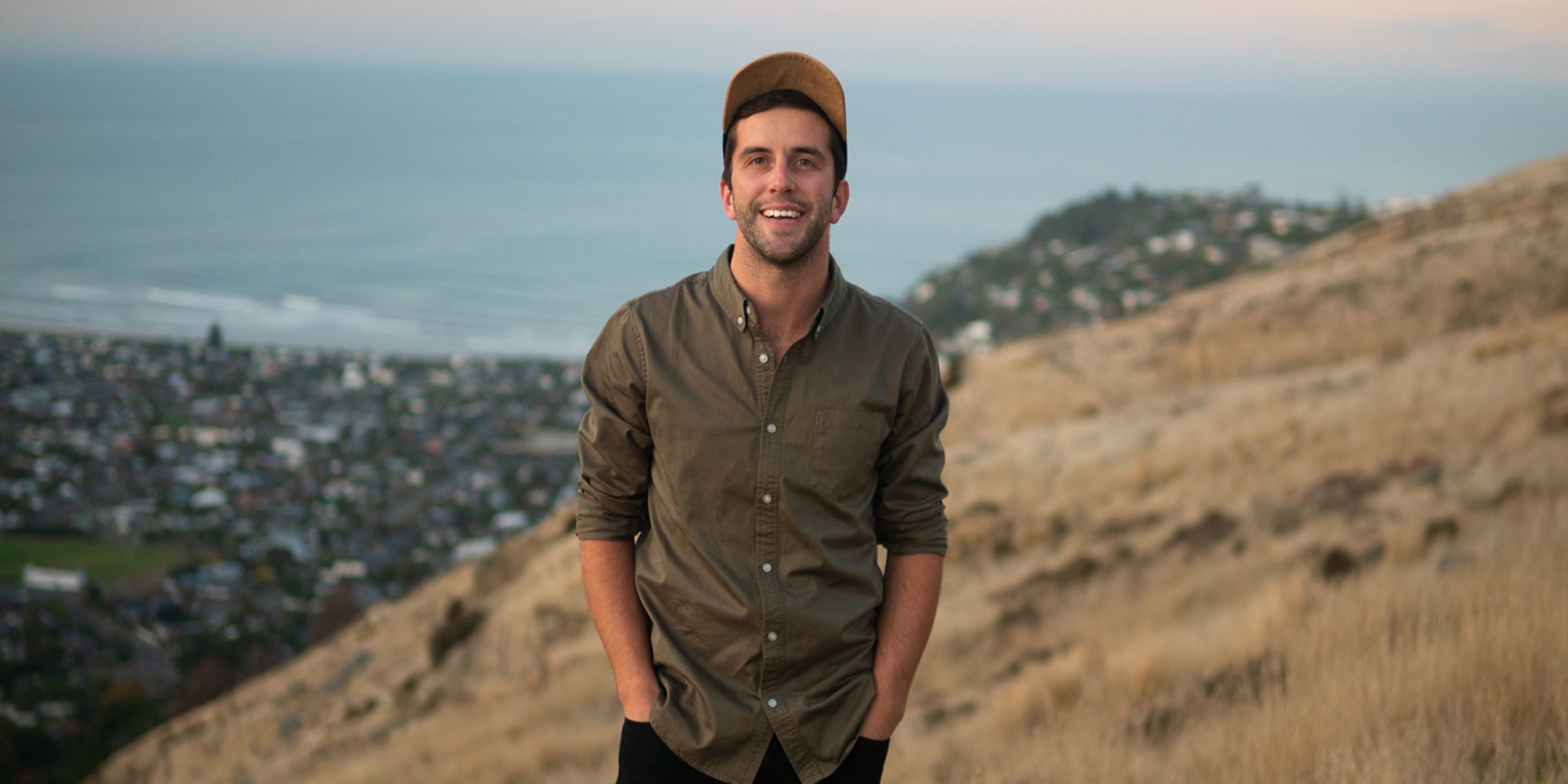
When I’m not helping turning scraps into caps, I end up spending quite a bit of my time in the coldest, windiest, highest and driest continent on Earth, Antarctica. It is a place hidden away at the bottom of the world, in complete geographic isolation from society. Most of us know little about it beyond it being cold and it being home to the world’s favourite flightless bird (the penguin, sorry kiwi). Because of this separation, many are unaware of just how influential what happens here will be in dictating our future.
It’s 1AM at 83 degrees south, the Sun is shining bright 24 hours a day. It only rose above the horizon for the first time since May, 10 weeks ago, bringing an end to the brutal polar winter. We’re 800 km from the South Pole, it is minus 20˚C, the wind is whistling by. The snow extends to the horizon in every direction, and for 90% of the time, there is absolutely nothing to see beyond the flat endless white expanse. A lot has changed since the days of Amundsen, Shackleton and Scott, but what I’m looking at right now is identical to what they would have seen. To my right is Scott’s route to the pole, and to my left is Amundsen’s. Somewhere beyond the horizon, their routes meandered up through the mountains, onto the polar plateau and toward the pole over one hundred years ago.
"The snow extends to the horizon in every direction, and for 90% of the time, there is absolutely nothing to see beyond the flat endless white expanse."
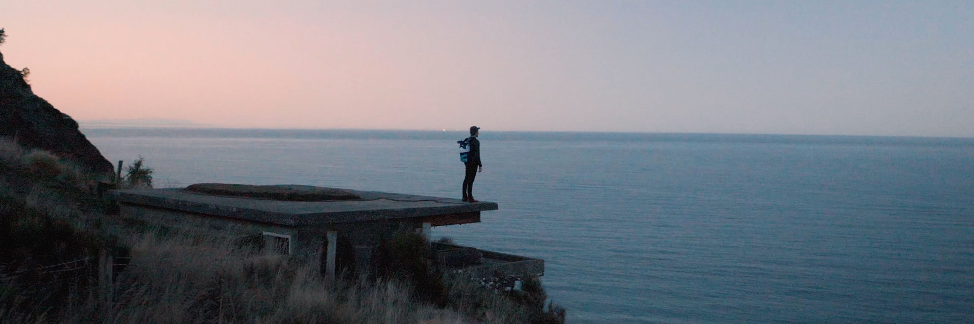
Things have got a little easier since those days, to say the very least. I’m currently writing this, wrapped in a sleeping bag, out of the elements in a 2 x 2 m cab in the back of my vehicle. I have sent this to Adrien via a satellite server and now you’re reading it.

Why am I here? Good question.
I’m traversing on a two and a half thousand kilometre journey across the Frozen Continent from East Antarctica to West Antarctica.
Twelve years ago, I began studying oceanography. This led to a fascination with the earth system and climate science, which eventually steered me to the Antarctic. My research involves using satellites to monitor changes to the colossal amounts of ice on and around the continent.
"I have gaped into some I could not see the bottom of, and even on thin areas of ice they exceed 30 metres in depth, the height of a 15-storey building."
Last year, separate from my own research, I was asked to use these satellite techniques and try to find a safe route across a previously untraveled area of the Ross Ice Shelf. This area of ice is about the size of France and although flat, white and featureless, in certain regions, buried beneath the surface it is littered with invisible death-traps — crevasses. The incredible forces at play within the ice create these chasms, as it moves in different directions at different speeds, or encounters obstacles. I have gaped into some I could not see the bottom of, and even on thin areas of ice they exceed 30 metres in depth, the height of a 15-storey building. I’ve heard stories of the darkness extending much deeper. These crevasses subsequently become hidden by a thin bridge of snow, which an unsuspecting person, or vehicle could fall straight through. They range in size from small cracks of a few centimetres to ten to twenty-meter-wide behemoths. Their reputation precedes them and when they are around, they certainly demand your full attention. Fortunately, the satellites, orbiting seven hundred kilometres above and moving at seven kilometres a second are great tools that can help us work out where these crevasses are.

My job was to find a way around these crevasses and ideally prevent any of us from driving into them.
In the lead vehicle with one other, we follow the route identified as safe using the satellite imagery. However, nothing is certain, so as a last line of defence, a radar mounted on the front of the vehicle, acting almost like a minesweeper, allows us to detect the hidden crevasses below. If one is identified on our screen we have a couple of seconds to stop and work out a best course of action. This usually involves moving ahead on ropes to profile the crevasse and see what we’re really dealing with.
Why are we doing all of this? An even better question.
"The Antarctic continent, locked up in all its ice, has the equivalent of over 60 meters of sea level rise. Even if a small percentage of this were to melt and flow to the ocean, it would drastically alter the planet’s coastline."
We are finding a way to a particular place on the ice shelf to help answer one of the fundamental questions about Antarctica’s role in the climate system; how much of the icy continent will melt with a given amount of warming, and crucially, how fast is this going to happen? The Antarctic continent, locked up in all its ice, has the equivalent of over 60 meters of sea level rise. Even if a small percentage of this were to melt and flow to the ocean, it would drastically alter the planet’s coastline. Tens to hundreds of millions of people would be displaced. It would completely change modern society. It is certain that warming the planet will begin this process, but uncertainty shrouds the timeframe.
Parts to this puzzle lie in one of the most inaccessible places on the planet - sediment on the seabed, sealed by the ocean, the ocean sealed beneath the floating ice shelf.

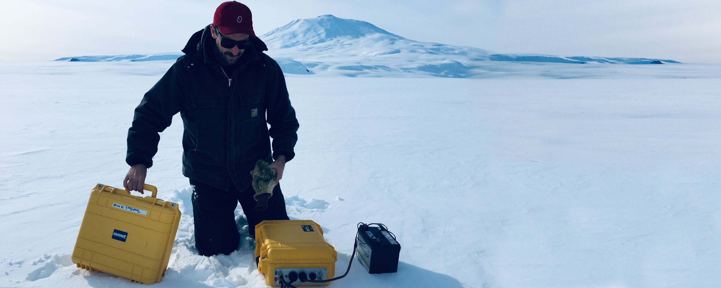
So, after finding a way to this key site last year, this year we’re hauling the drilling gear all the way out there. The ice is nearly 1000 m thick and getting through that is a huge engineering and logistical challenge, especially in this environment. There are three vehicles in the convoy, the lead vehicle again assessing the crevasse risk and pathfinding, and two larger vehicles pulling two thirty-meter long sleds each, 150 tonnes of gear. We have a lot of stuff - fuel, food, tents, flooring, generators, route flags, skiway flags, drilling hose, tools, engine spares, ropes, rescue gear, skidoos, a survival cache and an array of scientific equipment – radars, and weather stations. Another traverse carrying a similar amount of gear will still be required next year to get things underway.
We move at twelve kilometres per hour and cover just over one hundred kilometres a day. The return trip to New Zealand’s Scott Base, our staging point, with some science and other tasks on the way will take our team of six seven weeks to complete, all going to plan.
How does drilling through the ice shelf tell us something about climate? Ah, the reasoning behind it all.

Once through the ice and into the ocean cavity beneath, a gateway is open to access geological time. A sediment corer is dropped to the seabed. Now, nearly a kilometre below the drill operators on the snowy expanse above, the corer grabs a chunk of the seafloor. Hidden in this sediment-time-capsule is a wealth of information about what has happened here over millennia. Specifically, layers of sediment deposited from the ocean above tell us something about what tiny little creatures were living during a given period.
"This provides a reference when trying to predict what is going to happen in the future, comparable to looking at someone’s medical history to help work toward a diagnosis of a current problem."
Certain species existed when the region was ice covered, and others when it was not. The sediment layers capture this record because when these microscopic critters die, their shells sink to the seafloor. This locks in a chronological record of what the ice was doing. By dating these layers and matching them with temperature data, we can start to understand how sensitive the ice shelf has been to temperature changes in the past. This provides a reference when trying to predict what is going to happen in the future, comparable to looking at someone’s medical history to help work toward a diagnosis of a current problem.
>

Half a meter of sea level rise over one hundred years is very very different from five meters over fifty years. To deal with climate breakdown effectively, and manage the consequences, constraining these numbers is something we need to do.
Our first task on arrival is to set-up a temporary camp and then deploy a seismic line of over 120 charges across thirty kilometres. The explosives are detonated and listening carefully with very precise instruments the returning sound waves reveal what lies on and below the seafloor. It is critical that the drill hole is located above seabed consisting of sediment. It would be a shame to go to all this effort and hit solid rock that would not tell us a thing.
"The heater in my cab is busted and my hands are getting pretty cold."
With this information, next year the drill team will be able to position the drill in just the right place. With a bit of luck they will retrieve a snapshot in geological time that will help us understand how our planet is going to change as we continue to warm it.
I’ll wrap things up there I think, the heater in my cab is busted and my hands are getting pretty cold.
Tomorrow we leave the established route the Americans use to reach the South Pole and head into the region we proved last year. Hopefully (and of course applying all the investigative tools we have), not too much should’ve changed in the ice hidden beneath us.